Datasets
111 hydrological datasets from 66 providers. Every entry links to the provider's own files and terms.
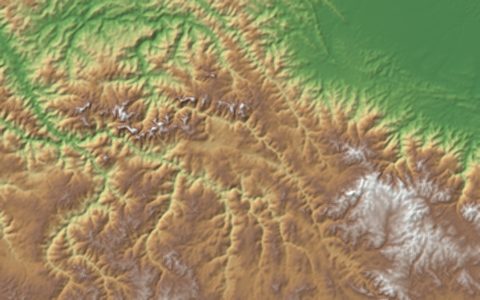
NASA SRTM 30 m (Global)
30 meter digital elevation model
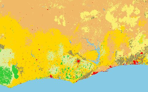
ESA WorldCover
Global land cover at 10 m from Sentinel-1 and Sentinel-2
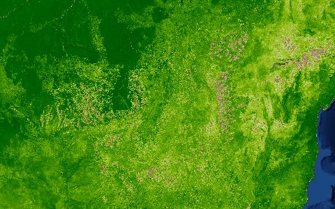
MODIS ET (MOD16)
500 m evapotranspiration and latent heat every 8 days
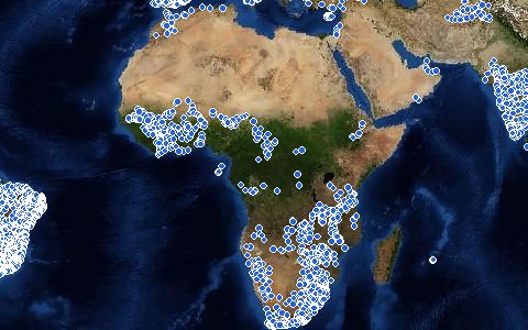
Global Discharge Stations
Daily and monthly river discharge from more than 10,000 stations
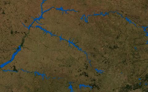
GRanD Reservoirs
Georeferenced large dams and their reservoir polygons
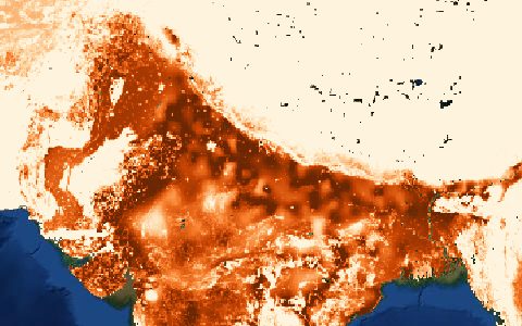
FAO AQUASTAT (Irrigation)
Country statistics on water resources, use and irrigation
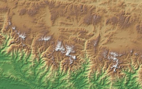
Copernicus DEM GLO-30
30 m global digital surface model from TanDEM-X
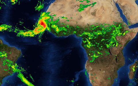
ERA5 Hourly Reanalysis
Hourly global atmospheric reanalysis since 1940
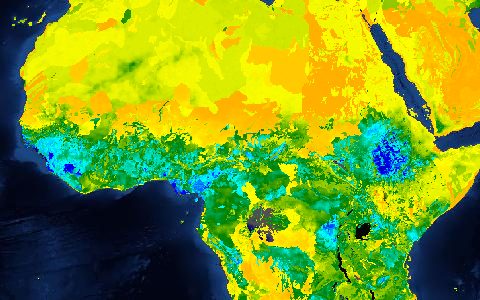
ERA5-Land
0.1° land reanalysis for hydrological forcing
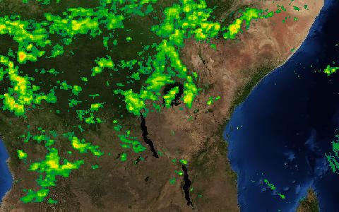
CHIRPS v2.0
0.05° rainfall since 1981 for drought monitoring
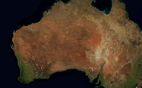
SoilGrids 250 m
Global soil properties at six depths with uncertainty
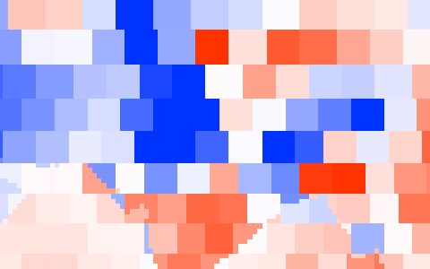
GRACE and GRACE-FO Mascons
Monthly terrestrial water storage anomalies since 2002
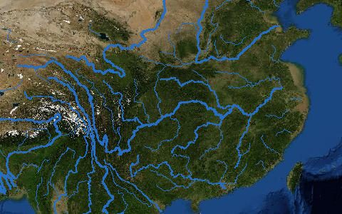
HydroRIVERS
8.5 million river reaches with discharge and order
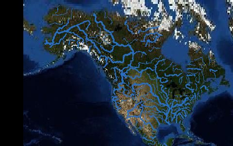
3D Hydrography Program (3DHP)
Lidar-based flowlines that succeed the NHD
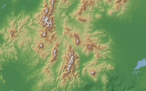
ALOS World 3D 30 m (AW3D30)
30 m surface model from PRISM optical stereo
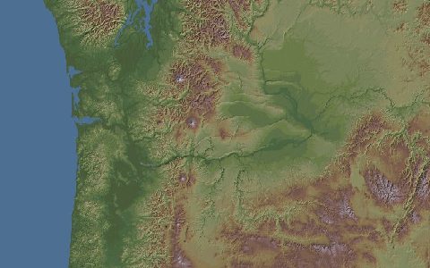
ASTER GDEM v3
30 m global elevation from ASTER stereo imagery
ASTER Global Water Bodies Database
30 m water body map produced with ASTER GDEM
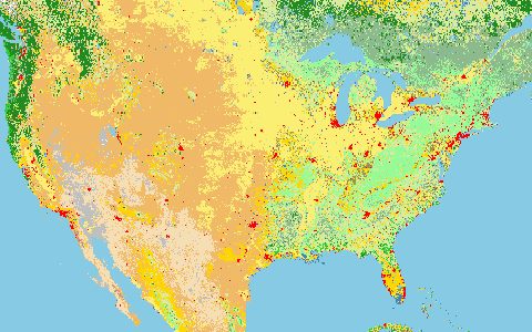
Annual NLCD
Yearly 30 m land cover for the conterminous United States
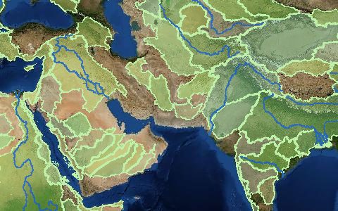
Aqueduct 4.0 Water Risk Atlas
Baseline and future water stress by sub-basin
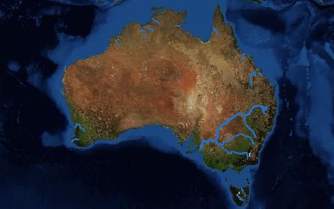
Australian Hydrological Geospatial Fabric
Connected stream network and catchments for Australia
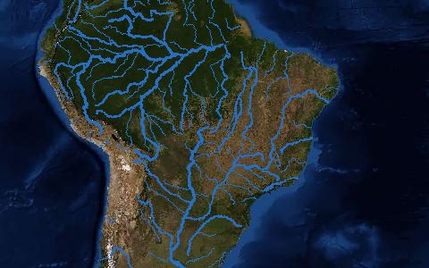
Base Hidrográfica Ottocodificada (Brazil)
Brazil's drainage network with Pfafstetter-coded catchments
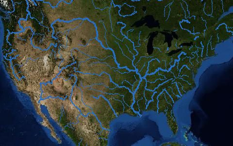
CAMELS (US)
671 minimally disturbed US catchments
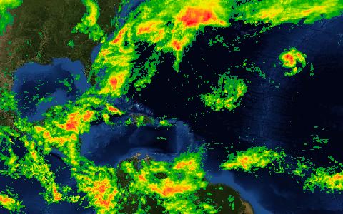
CHELSA v2.1
1 km downscaled climate, 1979 to present and projections
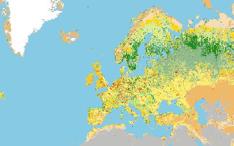
CORINE Land Cover
European land cover in 44 classes since 1990