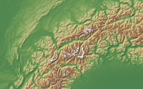
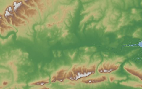
NASA SRTM 30 m (Global)
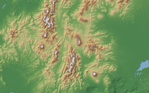
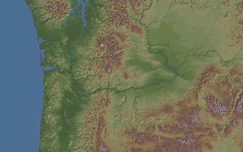
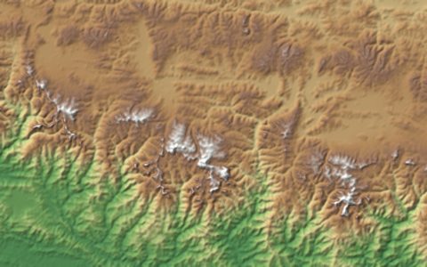
Shuttle Radar Topography Mission (SRTM). 30 meter digital elevation model.
The void-filled SRTM Global 1 arc-second product (SRTMGL1 v3), flown on the Space Shuttle Endeavour in February 2000. It remains the most widely used near-global DEM for watershed delineation, stream network extraction and hydrological model setup. Tiles are 1° × 1° and named by their south-west corner.
- Source
- National Aeronautics and Space Administration, U.S. Geological Survey
- Resolution
- 30 m (1 arc-second)
- Data type
- Raster
- Time span
- 2000
- Temporal
- Static (11 to 22 February 2000)
- Access type
- Download with free login · Free NASA Earthdata login for file downloads
- Formats
- HGT (zipped), GeoTIFF through OpenTopography
- Coverage
- 56°S – 60°N (-180, -56, 180, 60)
- Licence
- Public domain (U.S. Government work)
- DOI
- 10.5067/MEaSUREs/SRTM/SRTMGL1.003
- Provider page
- lpdaac.usgs.gov/products/srtmgl1v003/
Cite as. NASA JPL (2013). NASA Shuttle Radar Topography Mission Global 1 arc second. NASA EOSDIS Land Processes DAAC. https://doi.org/10.5067/MEaSUREs/SRTM/SRTMGL1.003
Access
cmrSRTMGL1 v003 tiles from NASA Earthdata (login required)
Granules found through NASA's Common Metadata Repository (collection SRTMGL1 v003). Downloads need a free Earthdata login.
apiClipped GeoTIFF from the OpenTopography Global DEM API (free API key)
https://portal.opentopography.org/API/globaldem?demtype=SRTMGL1&south={south}&north={north}&west={west}&east={east}&outputFormat=GTiff&API_Key=YOUR_KEY
# Earthdata login in ~/.netrc:
# machine urs.earthdata.nasa.gov login USER password PASS
curl -fsSL "https://hydrological.org/api/v1/datasets/nasa-srtm-30m/links.txt?bbox=-75,-20,-50,5" \
  | xargs -n 1 curl -fLO --netrc -b ~/.urs_cookies -c ~/.urs_cookies
import earthaccess # pip install earthaccess
earthaccess.login()
results = earthaccess.search_data(short_name="SRTMGL1", version="003",
bounding_box=(-75, -20, -50, 5))
earthaccess.download(results, "data")const res = await fetch("https://hydrological.org/api/v1/datasets/nasa-srtm-30m/links?bbox=-75,-20,-50,5");
const { groups } = await res.json();
for (const g of groups) g.links.forEach(l => console.log(l.url));Also available as JSON: links · manifest · dataset record