DEM
ALOS World 3D 30 m (AW3D30)
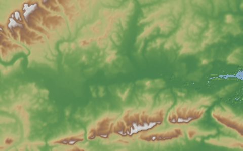
ALOS Global Digital Surface Model. 30 m surface model from PRISM optical stereo.
A digital surface model resampled from JAXA's 5 m AW3D product, derived from the PRISM stereo camera on ALOS. It often beats SRTM in steep terrain; like all optical DEMs it has small voids under persistent cloud and snow.
- Source
- Japan Aerospace Exploration Agency
- Resolution
- 30 m (1 arc-second)
- Data type
- Raster
- Time span
- 2006–2011
- Temporal
- Static (ALOS PRISM archive 2006 to 2011)
- Access type
- Registration with provider · Free registration with JAXA
- Formats
- GeoTIFF
- Coverage
- 82°S – 82°N (-180, -82, 180, 82)
- Licence
- JAXA terms of use (free, attribution required)
- Provider page
- www.eorc.jaxa.jp/ALOS/en/aw3d30/index.htm
Cite as. Tadono, T., et al. (2014). Precise Global DEM Generation by ALOS PRISM. ISPRS Annals, II-4, 71–76. https://doi.org/10.5194/isprsannals-II-4-71-2014
Access
apiClipped GeoTIFF from the OpenTopography Global DEM API (free API key)
https://portal.opentopography.org/API/globaldem?demtype=AW3D30&south={south}&north={north}&west={west}&east={east}&outputFormat=GTiff&API_Key=YOUR_KEY
curl -fL "https://portal.opentopography.org/API/globaldem?demtype=AW3D30&south=-20&north=5&west=-75&east=-50&outputFormat=GTiff&API_Key=YOUR_KEY" \
  -o response
import requests
r = requests.get("https://portal.opentopography.org/API/globaldem?demtype=AW3D30&south=-20&north=5&west=-75&east=-50&outputFormat=GTiff&API_Key=YOUR_KEY")
r.raise_for_status()
open("response", "wb").write(r.content)const res = await fetch("https://portal.opentopography.org/API/globaldem?demtype=AW3D30&south=-20&north=5&west=-75&east=-50&outputFormat=GTiff&API_Key=YOUR_KEY");
console.log(res.status, res.headers.get("content-type"));Also available as JSON: links · manifest · dataset record