Flow
HydroRIVERS
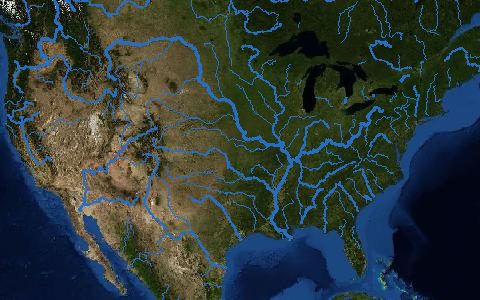
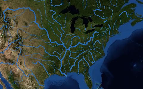
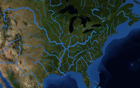
Global river network. 8.5 million river reaches with discharge and order.
Vector river reaches for every stream with a catchment of at least 10 km² or a mean flow of at least 0.1 m³/s, with estimated long-term discharge, Strahler order and connection to HydroBASINS and HydroLAKES.
- Source
- HydroSHEDS (WWF and McGill University)
- Resolution
- Lines (catchments above 10 km²)
- Data type
- Lines
- Time span
- Static (v1.0)
- Temporal
- Static
- Access type
- Direct download (external)
- Formats
- Shapefile, File geodatabase
- Coverage
- Global land (-180, -56, 180, 84)
- Licence
- HydroSHEDS licence (free, attribution required)
- Provider page
- www.hydrosheds.org/products/hydrorivers
Cite as. Lehner, B., Grill, G. (2013). Global river hydrography and network routing. Hydrological Processes, 27, 2171–2186. https://doi.org/10.1002/hyp.9740
Access
linkGlobal and regional downloads
curl "https://hydrological.org/api/v1/datasets/hydrorivers/links?bbox=-75,-20,-50,5" \
  -H "Accept: application/json"
import requests
r = requests.get("https://hydrological.org/api/v1/datasets/hydrorivers/links",
params={"bbox": "-75,-20,-50,5"})
for group in r.json()["groups"]:
for link in group["links"]:
print(link["url"])const res = await fetch("https://hydrological.org/api/v1/datasets/hydrorivers/links?bbox=-75,-20,-50,5");
const { groups } = await res.json();
for (const g of groups) g.links.forEach(l => console.log(l.url));Also available as JSON: links · manifest · dataset record