FlowObservations
USGS Water Data for the Nation
National Water Information System. Real-time and historical streamflow for the United States.
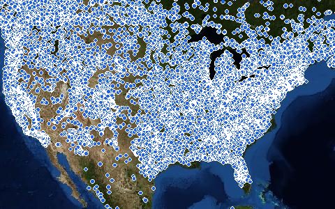
Streamflow, stage, groundwater levels and water quality from the USGS monitoring network, including about 10,000 continuously operating streamgages. The OGC API serves monitoring locations and time series with bounding-box filters.
- Source
- U.S. Geological Survey
- Resolution
- Station data
- Data type
- Station data
- Time span
- 1889–present
- Temporal
- 15-minute, daily, peaks and field measurements
- Access type
- API (external) · OGC API, no key for moderate use
- Formats
- JSON, CSV, WaterML
- Coverage
- United States (-180, 17, -64, 72)
- Licence
- Public domain (U.S. Government work)
- Provider page
- waterdata.usgs.gov/
Access
apiMonitoring locations in the area (OGC API)
https://api.waterdata.usgs.gov/ogcapi/v0/collections/monitoring-locations/items?bbox={west},{south},{east},{north}&f=json&limit=1000
curl -fL "https://api.waterdata.usgs.gov/ogcapi/v0/collections/monitoring-locations/items?bbox=-123,43.5,-121,45.5&f=json&limit=1000" \
  -o response
import requests
r = requests.get("https://api.waterdata.usgs.gov/ogcapi/v0/collections/monitoring-locations/items?bbox=-123,43.5,-121,45.5&f=json&limit=1000")
r.raise_for_status()
open("response", "wb").write(r.content)const res = await fetch("https://api.waterdata.usgs.gov/ogcapi/v0/collections/monitoring-locations/items?bbox=-123,43.5,-121,45.5&f=json&limit=1000");
console.log(res.status, res.headers.get("content-type"));Also available as JSON: links · manifest · dataset record