DEM
MERIT DEM
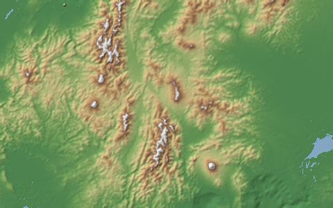
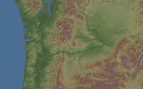
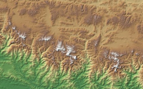
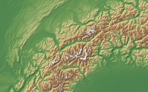
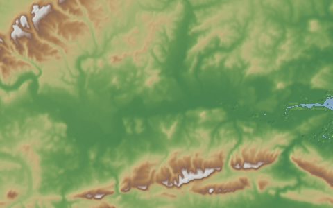
Multi-Error-Removed Improved-Terrain DEM. 90 m DEM with major error sources removed.
SRTM3 and AW3D30 with absolute bias, stripe noise, speckle noise and tree height bias removed. It is the elevation base of MERIT Hydro and many global flow-routing models.
- Source
- University of Tokyo (Yamazaki Lab)
- Resolution
- 90 m (3 arc-second)
- Data type
- Raster
- Time span
- Static (released 2017)
- Temporal
- Static
- Access type
- Registration with provider · Download link sent after a short registration
- Formats
- GeoTIFF (5° tiles in 30° packages)
- Coverage
- 60°S – 90°N (-180, -60, 180, 90)
- Licence
- CC BY-NC 4.0 or ODbL 1.0
- Provider page
- hydro.iis.u-tokyo.ac.jp/~yamadai/MERIT_DEM/
Cite as. Yamazaki, D., et al. (2017). A high-accuracy map of global terrain elevations. Geophysical Research Letters, 44, 5844–5853. https://doi.org/10.1002/2017GL072874
Access
This provider asks users to register or request the data on its own site: http://hydro.iis.u-tokyo.ac.jp/~yamadai/MERIT_DEM/
curl "https://hydrological.org/api/v1/datasets/merit-dem/links?bbox=-75,-20,-50,5" \
  -H "Accept: application/json"
import requests
r = requests.get("https://hydrological.org/api/v1/datasets/merit-dem/links",
params={"bbox": "-75,-20,-50,5"})
for group in r.json()["groups"]:
for link in group["links"]:
print(link["url"])const res = await fetch("https://hydrological.org/api/v1/datasets/merit-dem/links?bbox=-75,-20,-50,5");
const { groups } = await res.json();
for (const g of groups) g.links.forEach(l => console.log(l.url));Also available as JSON: links · manifest · dataset record