Hydrological Hydrological data discovery portal
Sign in Get started

Datasets

111 hydrological datasets from 66 providers. Every entry links to the provider's own files and terms.
Search
Category
Access
Coverage
Provider
111 datasets
Rivers

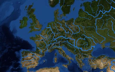
RiverATLAS

HydroRIVERS reaches with 56 hydro-environmental attributes
WWF / McGillLinesStatic (v1.0)GlobalDirect download (external)
Observations

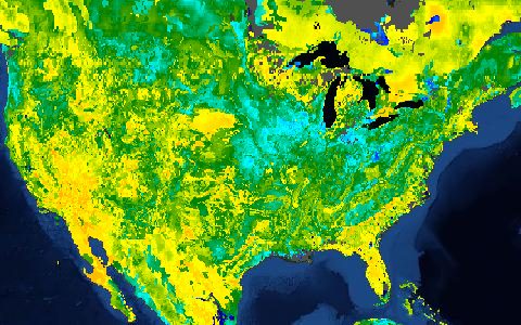
SMAP L3 Soil Moisture

Daily surface soil moisture from L-band radiometry
NASA / NSIDC36 km2015–presentGlobalDownload with free login
ET

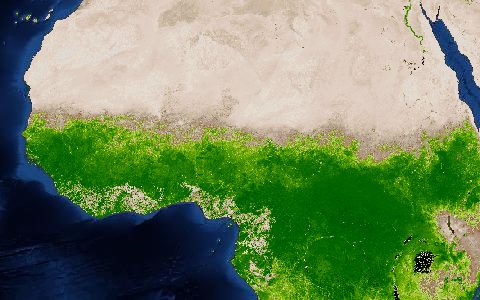
SSEBop Actual ET

1 km actual evapotranspiration from MODIS thermal data
USGS EROS1 km2003–presentGlobalDirect download (external)
Soils

SSURGO and gSSURGO

Detailed county-level soil surveys for the United States
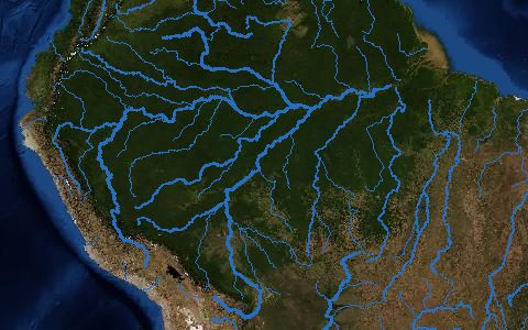
USDA NRCS1:12,000 to 1:63,360Updated annuallyUnited States and territoriesAPI (external)
Rivers

SWORD SWOT River Database

10 km river reaches and 200 m nodes for rivers wider than 30 m
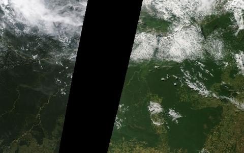
UNC / Altenau et al.ReachesStatic (v17b, 2025)GlobalDirect download (external)
Observations

SWOT River and Lake Products

Water surface elevation, width and slope from wide-swath altimetry
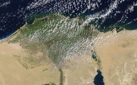
NASA / CNESRiver reaches, nodes and lakes2023–presentGlobalDownload with free login
Observations

Sentinel-2 Level-2A

10 m multispectral imagery every 5 days
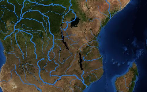
ESA / Copernicus10, 20 and 60 m2017–presentGlobalDirect download (external)
Rivers

TDX-Hydro and GEOGLOWS v2 Streams

Global stream lines from the 12 m TanDEM-X elevation model
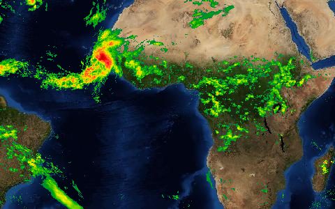
NGA / GEOGLOWSLines and catchment polygonsStatic (released 2023)GlobalDirect download (external)
Climate

TerraClimate

4 km monthly climate and water balance since 1958
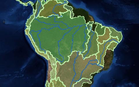
Climatology Lab1/24°1958–presentGlobalAPI (external)
Management

Transboundary Freshwater Dispute Database

310 international river basins with treaties and events
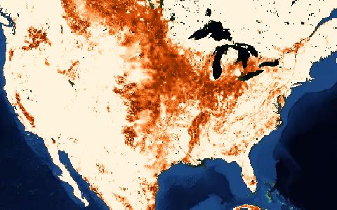
Oregon State UniversityPolygons and tables1820–present (treaties)GlobalDirect download (external)
Agricultural

USDA Cropland Data Layer

Crop-specific 30 m land cover for the United States
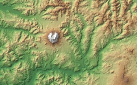
USDA NASS30 m2008–presentConterminous United StatesDirect download (external)
DEM

USGS 3DEP Elevation

Lidar-based elevation for the United States, 1 m to 1/3 arc-second
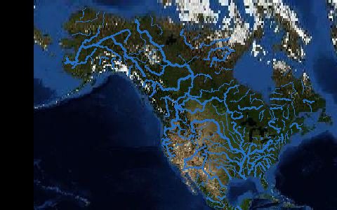
USGS1 mVaries by projectUnited States and territoriesAPI (external)
Flow

USGS Water Data for the Nation

Real-time and historical streamflow for the United States
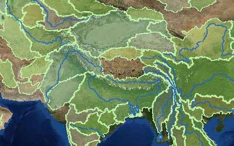
USGSStation data1889–presentUnited StatesAPI (external)
Management

WHYMAP Groundwater Resources of the World

Global map of groundwater resources and aquifer types
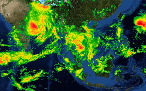
BGR / UNESCO1:25,000,000StaticGlobalDirect download (external)
Climate

WorldClim 2.1

1 km climate normals, monthly weather and CMIP6 projections

WorldClim30 arc-seconds to 10 arc-minutes1970–2000 normals, 1960–2021 monthlyGlobalDirect download (external)