OpenStreetMap Waterways
Rivers, streams and canals mapped by OpenStreetMap contributors. The most detailed open river lines, updated continuously.
Waterways tagged river, stream and canal, often traced from aerial imagery at a few metres. Detail is high in Europe and much of Asia and uneven elsewhere; lines are not guaranteed to be connected or oriented downstream, so check the network before routing. Keep Overpass requests to small areas; use a Geofabrik country extract (its shapefile has a waterways layer) for large ones.
- Source
- OpenStreetMap contributors
- Resolution
- Lines (mapped at local detail)
- Data type
- Lines
- Time span
- Continuously updated
- Temporal
- Live
- Access type
- API (external) · Overpass for small areas (send a user agent), Geofabrik extracts for countries
- Formats
- JSON (Overpass), Shapefile and PBF (Geofabrik extracts)
- Coverage
- Global (completeness varies by country) (-180, -90, 180, 90)
- Licence
- Open Database License (ODbL)
- Provider page
- wiki.openstreetmap.org/wiki/Key:waterway
Access
apiRivers, streams and canals in the box, in Overpass Turbo (map view, export to GeoJSON or KML)
https://overpass-turbo.eu/?Q=%5Bout%3Ajson%5D%5Btimeout%3A90%5D%3Bway%5B%22waterway%22~%22%5E%28river%7Cstream%7Ccanal%29%24%22%5D%28{south}%2C{west}%2C{north}%2C{east}%29%3Bout%20geom%3B&R
linkCountry and region extracts (Geofabrik, shapefile layer gis_osm_waterways)
# Overpass wants a user agent that identifies you; keep the box small
curl -A "your-project (you@example.org)" -G "https://overpass-api.de/api/interpreter" \
  --data-urlencode 'data=[out:json][timeout:90];way["waterway"~"^(river|stream|canal)$"](-20,-75,5,-50);out geom;' \
  -o waterways.json
import requests
query = """[out:json][timeout:90];
way["waterway"~"^(river|stream|canal)$"](-20,-75,5,-50);
out geom;"""
r = requests.post("https://overpass-api.de/api/interpreter", data={"data": query},
headers={"User-Agent": "your-project (you@example.org)"})
ways = r.json()["elements"]
lines = [[(p["lon"], p["lat"]) for p in w["geometry"]] for w in ways]
print(len(lines), "waterways")const query = `[out:json][timeout:90];
way["waterway"~"^(river|stream|canal)$"](-20,-75,5,-50);
out geom;`;
const res = await fetch("https://overpass-api.de/api/interpreter", {
method: "POST",
body: new URLSearchParams({ data: query }),
});
const { elements } = await res.json();
console.log(elements.length, "waterways");Also available as JSON: links · manifest · dataset record
Related datasets
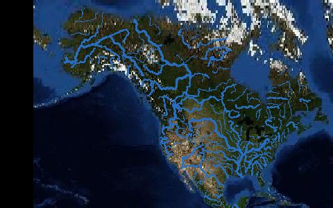 Rivers
3D Hydrography Program (3DHP)
USGS
Rivers
3D Hydrography Program (3DHP)
USGS
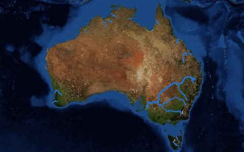 Rivers
Australian Hydrological Geospatial Fabric
BoM
Rivers
Australian Hydrological Geospatial Fabric
BoM
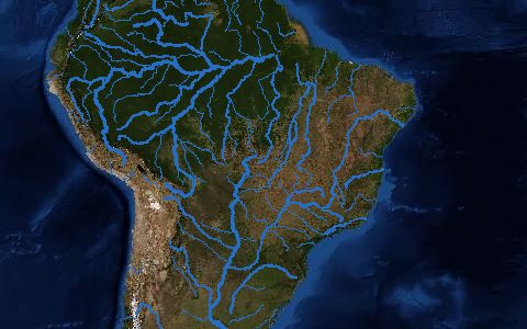 Rivers
Base Hidrográfica Ottocodificada (Brazil)
ANA
Rivers
Base Hidrográfica Ottocodificada (Brazil)
ANA
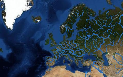 Rivers
EU-Hydro River Network Database
Copernicus
Rivers
EU-Hydro River Network Database
Copernicus
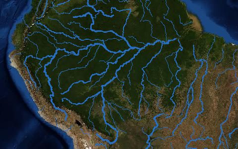 Rivers
Free-flowing Rivers of the World
Grill et al. (2019)
Rivers
Free-flowing Rivers of the World
Grill et al. (2019)
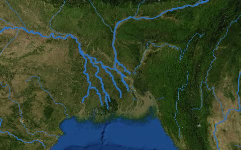 Rivers
GRIT Global River Topology
Wortmann et al. (2025)
Rivers
GRIT Global River Topology
Wortmann et al. (2025)