Agricultural
MIRCA2000
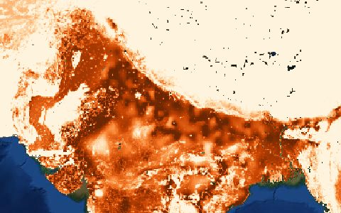
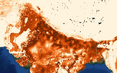
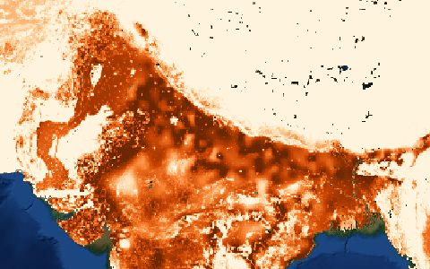
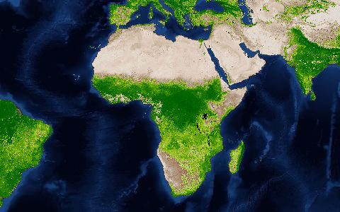
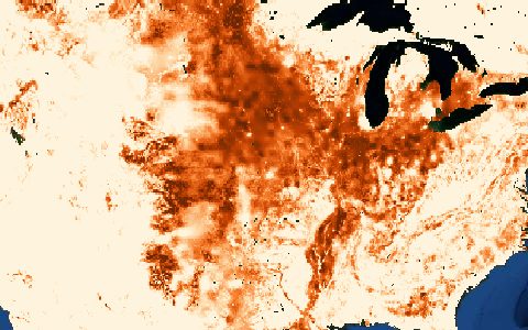
Monthly Irrigated and Rainfed Crop Areas around the year 2000. Monthly growing areas for 26 crop classes.
Irrigated and rainfed harvested and growing areas for 26 crop classes with crop calendars, the usual input for crop water requirement calculations in global models.
- Source
- Goethe University Frankfurt
- Resolution
- 5 arc-minutes (about 10 km)
- Data type
- Raster
- Time span
- About 2000
- Temporal
- Monthly crop calendars
- Access type
- Direct download (external)
- Formats
- ASCII grid
- Coverage
- Global land (-180, -60, 180, 90)
- Licence
- See provider terms
- Provider page
- www.uni-frankfurt.de/45218023/MIRCA
Cite as. Portmann, F. T., Siebert, S., Döll, P. (2010). MIRCA2000, Global monthly irrigated and rainfed crop areas around the year 2000. Global Biogeochemical Cycles, 24, GB1011. https://doi.org/10.1029/2008GB003435
Access
linkMIRCA2000 page and downloads
curl "https://hydrological.org/api/v1/datasets/mirca2000/links?bbox=-75,-20,-50,5" \
  -H "Accept: application/json"
import requests
r = requests.get("https://hydrological.org/api/v1/datasets/mirca2000/links",
params={"bbox": "-75,-20,-50,5"})
for group in r.json()["groups"]:
for link in group["links"]:
print(link["url"])const res = await fetch("https://hydrological.org/api/v1/datasets/mirca2000/links?bbox=-75,-20,-50,5");
const { groups } = await res.json();
for (const g of groups) g.links.forEach(l => console.log(l.url));Also available as JSON: links · manifest · dataset record