ObservationsLand Use
Landsat Collection 2 Level-2
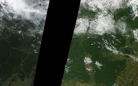
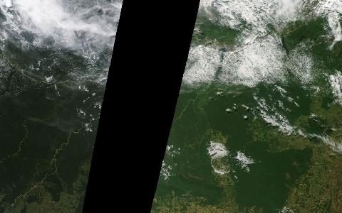
USGS Landsat surface reflectance and temperature. 30 m imagery since 1982 for long-term change.
Surface reflectance and surface temperature from Landsat 4 to 9, processed consistently. Four decades of 30 m observations for land and water change.
- Source
- National Aeronautics and Space Administration, U.S. Geological Survey
- Resolution
- 30 m
- Data type
- Raster
- Time span
- 1982–present
- Temporal
- 8 to 16-day revisit
- Access type
- Download with free login · Free USGS login for EarthExplorer; STAC search is open
- Formats
- Cloud Optimized GeoTIFF
- Coverage
- Global land (-180, -90, 180, 90)
- Licence
- Public domain (U.S. Government work)
- Provider page
- www.usgs.gov/landsat-missions/landsat-collection-2-level-2-…
Access
stacSTAC search on the USGS LandsatLook STAC server
STAC API at https://landsatlook.usgs.gov/stac-server, collection landsat-c2l2-sr.
curl "https://landsatlook.usgs.gov/stac-server/search?collections=landsat-c2l2-sr&bbox=-75,-20,-50,5&limit=10" \
  -H "Accept: application/geo+json"
from pystac_client import Client # pip install pystac-client
catalog = Client.open("https://landsatlook.usgs.gov/stac-server")
search = catalog.search(collections=["landsat-c2l2-sr"],
bbox=[-75, -20, -50, 5], max_items=10)
for item in search.items():
print(item.id, list(item.assets))const res = await fetch("https://landsatlook.usgs.gov/stac-server/search?collections=landsat-c2l2-sr&bbox=-75,-20,-50,5&limit=10");
const { features } = await res.json();
features.forEach(f => console.log(f.id, Object.keys(f.assets)));Also available as JSON: links · manifest · dataset record