Agricultural
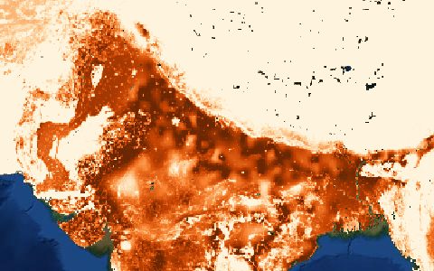
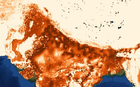
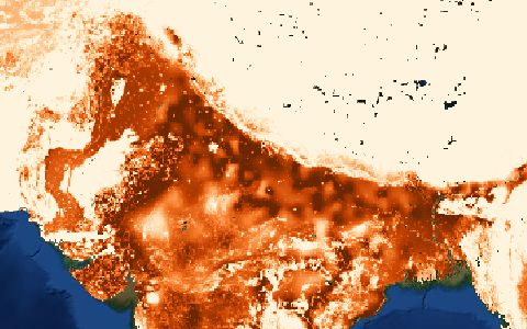
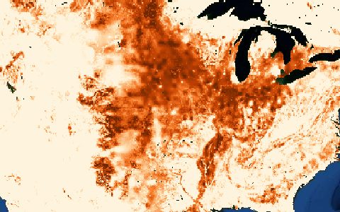
Global Map of Irrigation Areas (GMIA v5)
FAO and University of Bonn. Area equipped for irrigation at 5 arc-minutes.
Percentage of each cell equipped for irrigation, with the share irrigated from groundwater, surface water and non-conventional sources. Built from sub-national statistics and irrigation maps.
- Source
- Food and Agriculture Organization of the United Nations, University of Bonn
- Resolution
- 5 arc-minutes (about 10 km)
- Data type
- Raster
- Time span
- About 2005
- Temporal
- Static
- Access type
- Direct download (external)
- Formats
- ASCII grid, GeoTIFF
- Coverage
- Global land (-180, -60, 180, 90)
- Licence
- See FAO terms of use
- Provider page
- www.fao.org/aquastat/en/geospatial-information/global-maps-…
Cite as. Siebert, S., et al. (2013). Update of the digital global map of irrigation areas to version 5. University of Bonn and FAO.
Access
linkGMIA download page (FAO AQUASTAT)
https://www.fao.org/aquastat/en/geospatial-information/global-maps-irrigated-areas/latest-version/
curl "https://hydrological.org/api/v1/datasets/gmia/links?bbox=-75,-20,-50,5" \
  -H "Accept: application/json"
import requests
r = requests.get("https://hydrological.org/api/v1/datasets/gmia/links",
params={"bbox": "-75,-20,-50,5"})
for group in r.json()["groups"]:
for link in group["links"]:
print(link["url"])const res = await fetch("https://hydrological.org/api/v1/datasets/gmia/links?bbox=-75,-20,-50,5");
const { groups } = await res.json();
for (const g of groups) g.links.forEach(l => console.log(l.url));Also available as JSON: links · manifest · dataset record