Land Use
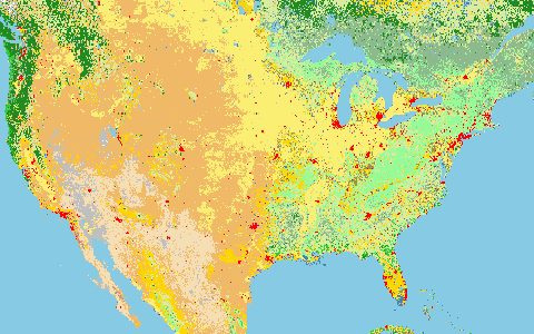
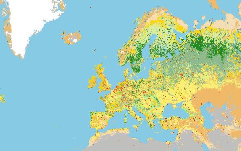
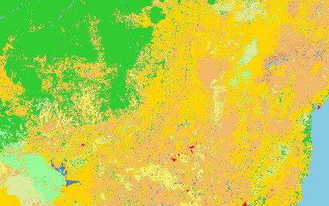
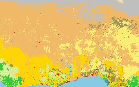
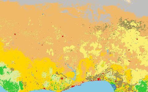
GLAD Global Land Cover and Land Use Change
University of Maryland GLAD lab. 30 m land cover and change, 2000 to 2020.
Consistent Landsat-based maps of vegetation height, cropland, built-up area, surface water and snow and ice, with net change between 2000 and 2020.
- Source
- Global Land Analysis and Discovery lab, University of Maryland
- Resolution
- 30 m
- Data type
- Raster
- Time span
- 2000–2020
- Temporal
- Every 5 years
- Access type
- Direct download (external)
- Formats
- GeoTIFF
- Coverage
- Global land (-180, -60, 180, 80)
- Licence
- CC BY 4.0
- Provider page
- glad.umd.edu/dataset/GLCLUC2020
Cite as. Potapov, P., et al. (2022). The global 2000–2020 land cover and land use change dataset derived from the Landsat archive. Frontiers in Remote Sensing, 3, 856903. https://doi.org/10.3389/frsen.2022.856903
Access
linkDataset page with tile downloads
curl "https://hydrological.org/api/v1/datasets/glad-glcluc/links?bbox=-75,-20,-50,5" \
  -H "Accept: application/json"
import requests
r = requests.get("https://hydrological.org/api/v1/datasets/glad-glcluc/links",
params={"bbox": "-75,-20,-50,5"})
for group in r.json()["groups"]:
for link in group["links"]:
print(link["url"])const res = await fetch("https://hydrological.org/api/v1/datasets/glad-glcluc/links?bbox=-75,-20,-50,5");
const { groups } = await res.json();
for (const g of groups) g.links.forEach(l => console.log(l.url));Also available as JSON: links · manifest · dataset record